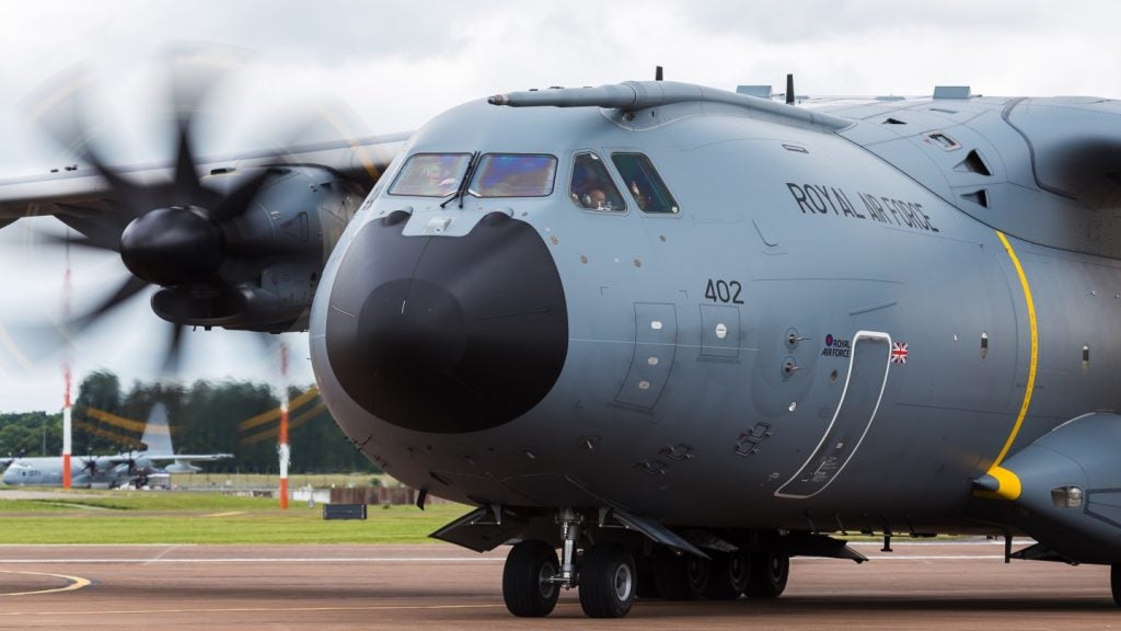
A new digital map generator system (DMGS) has been approved for use in the A400 military aircraft as part of a first flight acceptance review carried out by Airbus.
The DMGS has been in testing for two years under laboratory conditions, specifically for checking its interfaces with other systems.
The digital map generator displays coloured topographic maps in real-time and superimposes data specific to a mission over them allowing airmen to determine their position, the flight path and possible threats.
The map data will also enable information on flight corridors or approach and take-off procedures to be overlaid in the display.
The equipment will be able to automatically superimpose tactical information.
The A400M, a high-speed turboprop airlifter designed to meet the needs of European Nato nations, is currently hitting the headlines for the controversy caused by its delayed delivery.
How well do you really know your competitors?
Access the most comprehensive Company Profiles on the market, powered by GlobalData. Save hours of research. Gain competitive edge.

Thank you!
Your download email will arrive shortly
Not ready to buy yet? Download a free sample
We are confident about the unique quality of our Company Profiles. However, we want you to make the most beneficial decision for your business, so we offer a free sample that you can download by submitting the below form
By GlobalData


