
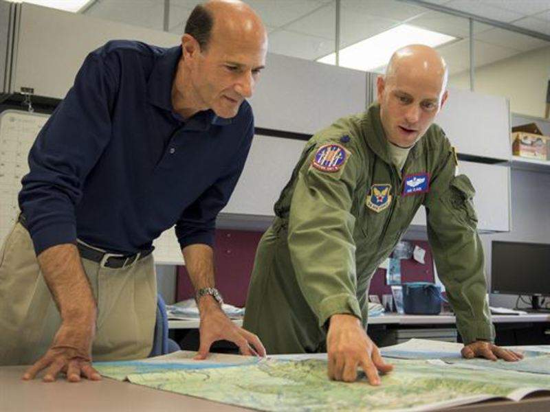
The US Air Force Operational Test and Evaluation Center (AFOTEC) Detachment 2 (Det 2) has completed testing on a new, fully digital aircraft navigation aid.
Designed to streamline mission planning initiatives for the military, the three digitised navigation charts include the 1:250,000 joint operations graphics-air (JOG-A), the 1:2 millionth jet navigation (JNC), and the 1:5 millionth global navigation and planning (GNC) series.
Go deeper with GlobalData

Discover B2B Marketing That Performs
Combine business intelligence and editorial excellence to reach engaged professionals across 36 leading media platforms.
Aircrew use navigation charts similarly to the way drivers use dashboard GPS systems in vehicles, AFOTEC stated.
The new charts were tested at nine military installations across the US for a period of six weeks.
The Det 2 team and aircrew from the airforce, army and navy evaluated the chart effectiveness on 16 different airframes.
AFOTEC Detachment 2 Air Armament Division chief lieutenant colonel Robert Clark said: “We evaluated the new digital product for the units’ ability to mission plan and fly with them.
“We also evaluated various aircrew’s use and their ratings of the charts.”
The JOG-A series chart is intended for use in planning and supporting low-altitude air operations and navigation, tactical air-to-ground operations, and support to other aircraft activities.
The JNC charts are capable of providing worldwide coverage to support navigation requirements of aircraft capable of high-speed, high-altitude and long-range performance.
The GNC series are long-range navigation graphics that have been designed to meet the requirements of users in high- speed, as well as high and very high-altitude aircraft.
Image: The detachment recently evaluated new, fully digitised navigation charts that will streamline mission planning initiatives for the military as early as 2019. Photo: courtesy of the US Air Force photo by Jasmine Porterfield.
