US-based Terran Orbital company PredaSAR has secured a contract from the Defence Advanced Research Projects Agency (DARPA).
The contract has been awarded under the other transaction authority (OTA) for the prototype agreement.
The company has not disclosed other terms of the agreement.
The OTA agreement focuses on conducting research and conceptual design work on the synthetic aperture radar (SAR) satellite. It also includes joint data collection methodologies.
Under the contract, the company will develop a potential prototype that will provide data products from at least two SAR satellites flying in formation and demonstrate new data processing algorithms.
According to Terran Orbital, the process of preparing the conceptual design is anticipated to take several months.
How well do you really know your competitors?
Access the most comprehensive Company Profiles on the market, powered by GlobalData. Save hours of research. Gain competitive edge.

Thank you!
Your download email will arrive shortly
Not ready to buy yet? Download a free sample
We are confident about the unique quality of our Company Profiles. However, we want you to make the most beneficial decision for your business, so we offer a free sample that you can download by submitting the below form
By GlobalDataPredaSAR expects the work under the agreement to result in securing other follow-on opportunities to conduct further demonstrations and prototyping.
Terran Orbital co-founder, CEO and chairman Marc Bell said: “We are thrilled to have been selected by DARPA for this exciting opportunity.
“Terran Orbital is proud to combine state-of-the-art SAR Earth observation capabilities and advanced small satellite technologies into game-changing solutions that contribute to the defence of our nation and Allies.
“We look forward to demonstrating and delivering cost-effective, end-to-end capabilities.”
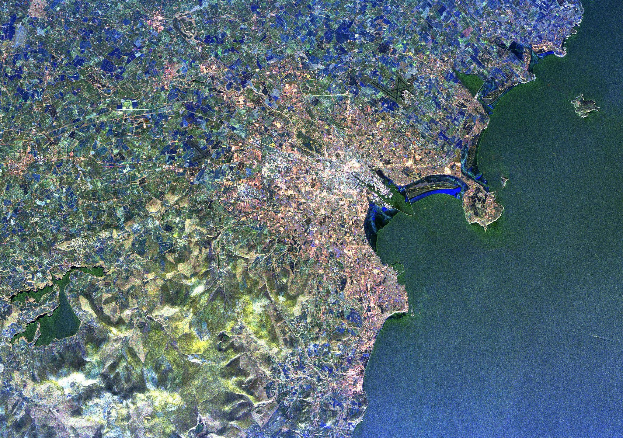
An advanced imaging technology, SAR is used for capturing earth imagery and create high-definition reconstructions of the objects.
According to PredaSAR, the technology is integrated with various small satellites that travel in a low-Earth orbit (LEO) and form a constellation to provide consistent coverage.
The SAR technology allows to capture higher resolution images in all weather conditions, during day and night.


