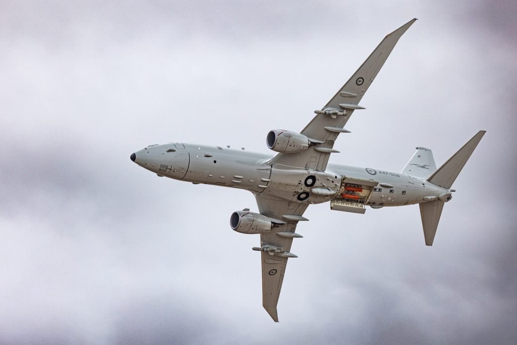
Northrop Grumman has secured a phase two inertial navigation system-related contract from the US Air Force (USAF) Research Laboratory to provide improved GPS-challenged geo-registration services for positioning and pointing applications.
The first phase of the Maintain Accurate Geo-registration through Image-nav Compensation (MAGIC) programme involved integration of geo-registration algorithms in a vision-aided inertial navigation system, which can be operated in GPS-denied conditions.
Go deeper with GlobalData

Under phase two, the company will flight test the integrated system, the prototype of which was demonstrated in phase one, and incorporate further enhancements such as highly detailed 3D map generation in the algorithm.
Northrop Grumman Advanced Navigation Systems business unit vice president Charles Volk said that the new positioning and geo-registration system will help in locating the accurate aircraft positions and target locations, primarily in GPD-challenged environments.
"Additionally, this will increase the situational awareness of warfighters and help to keep them safer," Volk added.
See Also:
Geo-registration of images includes pairing unreferenced images with the physical locations or accurate coordinates of depicted items, and is critical for interaction between systems.
How well do you really know your competitors?
Access the most comprehensive Company Profiles on the market, powered by GlobalData. Save hours of research. Gain competitive edge.

Thank you!
Your download email will arrive shortly
Not ready to buy yet? Download a free sample
We are confident about the unique quality of our Company Profiles. However, we want you to make the most beneficial decision for your business, so we offer a free sample that you can download by submitting the below form
By GlobalDataThe navigation system allows aircrafts to develop accurate maps by combining photos and correlating them with their locations, which can be used in intelligence gathering and targeting.
The MAGIC programme aims to develop improved real-time geo-registration and navigation algorithms with the help of a combination of cameras, an inertial measurement unit and GPS.
The programme will benefit from recent progress in the availability of low-size, power, weight and cost camera systems that facilitate the inclusion of camera information in navigation and geo-registration systems for airborne vehicles.